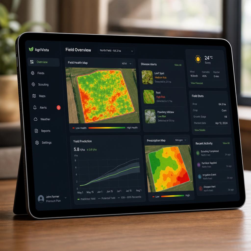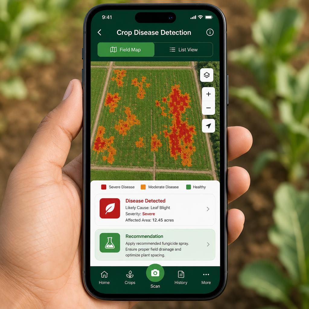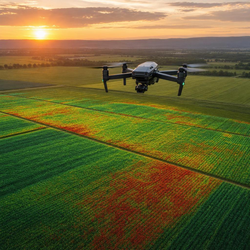
TerraMind AI gives cooperatives, agribusinesses, NGOs, and government agencies a single command center to monitor crop health across every farm in their network — combining drone imaging, IoT sensors, and deep learning to flag disease and pest risk 5-10 days earlier, then push prescriptive alerts straight to each farmer's phone through our field app.
When you're responsible for thousands of farmers across a region, you can't rely on field visits to catch disease. By the time a scout — or a farmer — sees a symptom, the damage across the network is already done.
Manual scouting covers under 2% of field area — by the time you see symptoms, 10-20% of the field is already infected.
Scout fatigue, weather, and training gaps create dangerous variability in diagnosis.
Without spatial precision, farmers apply pesticides across entire fields, wasting 30-50% of inputs.
Farm managers discover the real damage at harvest — when yield is already gone.
Weather stations, soil sensors, satellites — all siloed, none actionable alone.
| Metric | Status Quo | TerraMind AI Impact |
|---|---|---|
| Yield Loss | Discovered at harvest | → 20-40% loss prevented |
| Chemical Usage | Blanket application | → 30-50% over-application avoided |
| Water Waste | Uniform irrigation | → 15-25% water saved |
| Forecast Error | ±20-30% off target | → ±10% precision modeling |
We identify sub-visible spectral signatures of plant stress 5-10 days before symptoms become visible to the human eye.
Generate georeferenced prescription maps that target only affected zones, plugging directly into variable-rate sprayers.
Your agronomy team sees the whole network in one enterprise dashboard, while every farmer gets alerts and prescriptions through a lightweight mobile app you deploy under your own program.
Our proprietary machine learning models turn raw pixels and sensor voltages into prescriptive agronomic intelligence.
CNN transfer learning (EfficientNet) on labeled regional crop datasets identifies disease or pest type from canopy imagery.
U-Net & Mask R-CNN semantic segmentation maps the exact affected area within a field for accurate severity scoring.
Multispectral index modeling combined with regression detects water and nutrient stress early.
Spatiotemporal model combining micro-weather and detection history to predict how fast an issue will spread.
Gradient-boosted trees and temporal transformers forecast harvest yield under current interventions.
Rule-based agronomic logic layered on model outputs generates zone-specific treatment recommendations.
Multispectral drone imagery
IoT soil & weather sensors
Satellite NDVI history
Historical yield records
Regional disease datasets
We use AWS to host backend APIs, store user and product data securely (Amazon S3 for all drone imagery and sensor telemetry), run AI workflows via ECS and Lambda, manage authentication, deploy scalable relational databases with Amazon RDS, serve frontend assets globally through CloudFront, monitor performance with CloudWatch, and support future machine learning features through Amazon Bedrock and related AWS AI services.
We plan to use NVIDIA technologies to accelerate AI model development with CUDA, optimize inference speed for disease detection using TensorRT, process visual crop imagery and geospatial data workloads efficiently, run drone-mounted edge inference via NVIDIA Jetson modules, serve models at scale using Triton Inference Server, and improve real-time AI performance as the platform scales to thousands of farms.
Push notifications with confidence scores and priority ranking straight to your device.
Exportable shapefiles compatible with major variable-rate sprayers and controllers.
Updated after every flight cycle with narrowing confidence intervals.
Centralized web dashboard for cooperative admins overseeing dozens of farms.
iOS/Android with offline-capable maps and photo verification workflow for scouts.
Compare current season performance against prior years and anonymized regional peers.
Drones fly every 3-7 days. IoT sensors continuously monitor soil and microclimate.
Edge AI flags anomalies. Cloud models perform pixel-level disease mapping.
Engine translates detections into validated prescription maps and dosages.
Managers receive alerts and act. Outcomes feed back into model improvement.
A $9.5B precision ag market growing at 12% CAGR.
Initial drone flight to create high-res base map.
Install IoT soil and weather sensors.
AI models calibrate to local crop varieties.
Establish 3-7 day drone flight schedule.
System flags anomaly, generates prescription.
Continuous forecast updates based on intervention.
Whether you run a single cooperative or a national extension program, choose the plan that matches how many farmers and hectares you manage.
For cooperatives and grower associations managing a shared farmer base.
For agribusinesses and input companies integrating our models into their own systems.
Discounted licensing for NGOs, extension programs, and government agencies protecting regional food security.
Custom volumes or multi-country deployments? Talk to sales →
Built by practitioners, for practitioners.
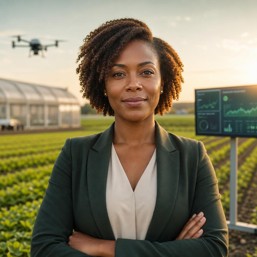
CEO & Co-Founder
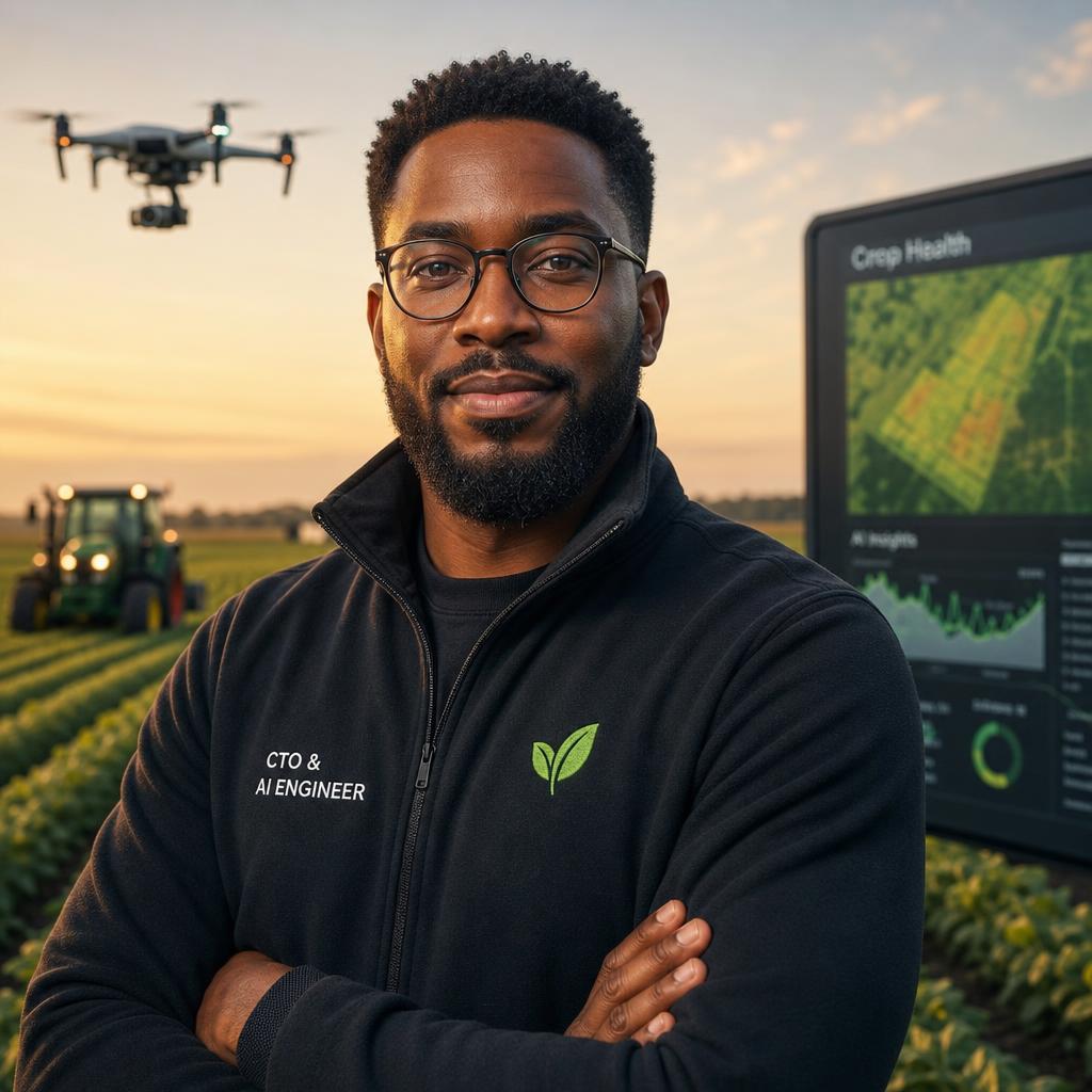
CTO & Co-Founder
Get Started for your cooperative, agribusiness, NGO, or government program.